PIE (Pixel Information Expert)
flagship software
product of PIESAT for remote sensing image and data processing.

PIE

PIE-Ortho

PIE-SAR

PIE-Hyp

PIE-UAV

PIE-SIAS

PIE-AI

PIE-Map

PIE-Engine

PIE-SDK
PIE-Ortho
Software for surveying production using remote sensing images
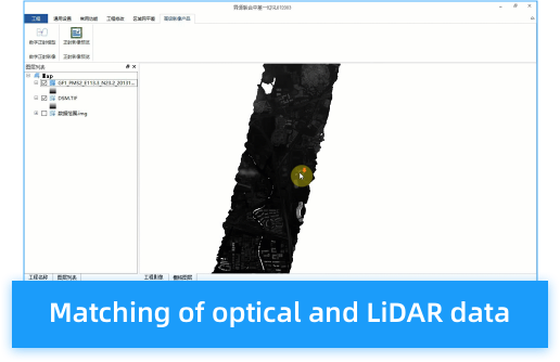
PIE-Ortho is a satellite image processing software for surveying and mapping, which supports rapid mass production of DOM, DEM and DSM. It has been widely applied in fields such as land industry, surveying and mapping industry, agriculture, forestry, water conservancy, environmental protection and so on. It is capable of performing clustered distributed computation to accomplish distributed automatic processing of massive data, which will improve production efficiency and shorten project cycle.


